
Last updates: 20.10.2006

is an a Model Incomparison Program centered on the study of the West African Monsoon (click here for a general description) conducted in the frame of the AMMA international programm (AMMA stands for African Monsoon Multi-discplinary Analysis Program).
Several Models are already involved but other contributions are welcome.
The AMMA-Cross part is dedicated to the mean latitudinal structure of the monsoon. It is motivated by the relative "zonallity" of the west african monsoon. The cross-section consists in zonal averages of model outputs taken from 10°W to 10°E. The latitudinal domain is 20°S-40°N.
|
modelling setup |
model diagnostics |
Comparison |
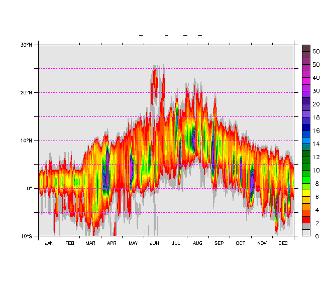
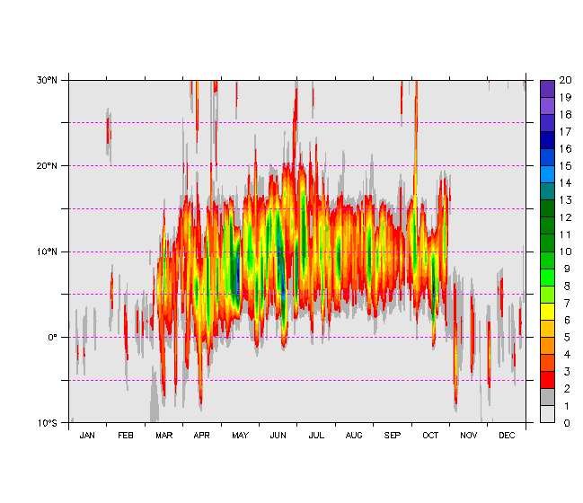
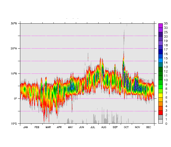
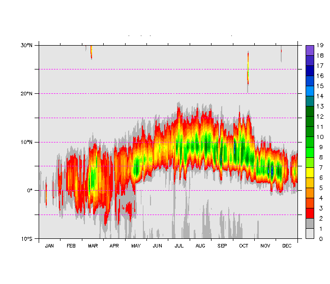
The AMMA-maps part is dedicated to the study of synoptic dynamics (waves, monsoon breaks, ...) and longitudinal sructures (influence of orography, ...). The model outputs consist in 2D horizontal maps provided at a daily frequencey.
Model outputs are also made available as NetCDF files.
Access
to NetCDF data
Coordinated by : Frédéric Hourdin (LMD/IPSL), Françoise Guichard (CNRM) and Paolo Ruti (ENEA)
Realized by : Ionela Musat (LMD/IPSL) and Florence Favot (CNRM).