PROJET MApUCE
Projet MApUCE
►Modélisation Appliquée et droit de l’Urbanisme : Climat urbain et Énergie
![]()
Le projet MApUCE vise à intégrer dans les politiques urbaines et dans des documents juridiques des données quantitatives de microclimat urbain, climat et énergie, dans une démarche applicable à toutes les villes de France.
![]()
Le projet MApUCE est coordonné par le CNRM (Centre National de Recherche Météorologique). Il a débuté le 3 mars 2014 pour une durée de 4 ans (jusqu’au printemps 2018).
Il bénéficie d’une aide de l’Agence Nationale de la Recherche, dans le cadre de l’appel à projet Bâtiments et Villes Durables 2013.
Notre projet est pluridisciplinaire : il regroupe le domaine juridique, sociologique, géomatique, architectural, météorologique ou encore géographique. Plusieurs laboratoires français participent à l’aventure. Ces derniers sont situés à Toulouse, Paris, Vannes, Aix-en-Provence et à La Rochelle.
Pour arriver à son terme en 2018, le projet MApUCE se concentre sur deux objectifs distincts :
Objectif n°1 : Afin d’obtenir les données quantitatives propices à nos recherches, nous construisons d’abord une base de données urbaines et architecturale, s’appliquant à n’importe quelle ville de France, et ce, jusqu’à l’échelle des quartiers. Ces données sont utilisées ensuite dans une stratégie de modélisation pour réaliser des simulations qui concerne le microclimat urbain, la consommation énergétique liée aux bâtiments, en tenant compte du comportement énergétique des habitants et usagers.
►Vous pouvez retrouver ces simulations sur le site suivant.
Objectif n°2 : Nous définissons ensuite une méthodologie pour intégrer ces données dans les documents juridiques les plus pertinents, ainsi que dans les politiques urbaines.
Pour plus d’informations, cliquez sur la rubrique “Description du projet”.
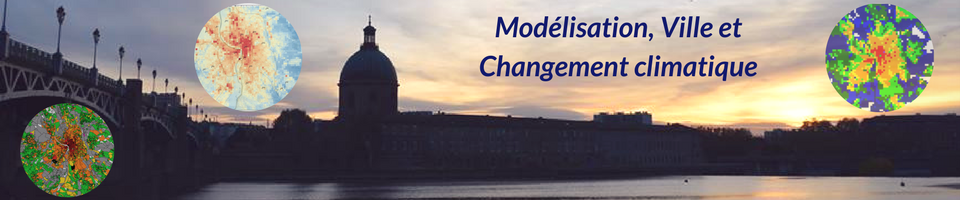
Les données d’ilot de chaleur urbain urbaines produites dans ce projet sont visualisables et téléchargeables, en open data, sur le site web https://github.com/orbisgis/mapuce.orbisgis.org/tree/gh-pages/data/icu
English :
Urban Climate, Human behavior and Energy consumption : from LCZ mapping to simulation and urban planning (the MapUCE project)
The MApUCE project aims to integrate in urban policies and most relevant legal documents quantitative data from urban microclimate, climate and energy.
The primary objective of this project is to obtain climate and energy quantitative data from numerical simulations, focusing on urban microclimate and building energy consumption in the residential and service sectors, which represents in France 41% of the final energy consumption. Both aspects are coupled as building energy consumption is highly meteorologically dependent (e.g. domestic heating, air-conditioning) and heat waste impact the Urban Heat Island. We propose to develop, using national databases, a generic and automated method for generating Local Climate Zones (LCZ) for all cities in France, including the urban architectural, geographical and sociological parameters necessary for energy and microclimate simulations.
Previous projects on adaptation of cities to climate change have shown that human behavior is a very potent level to address energy consumption reduction, as much as urban forms or architectural technologies. Therefore, in order to further refine the coupled urban climate and energy consumption calculations, we will develop within TEB (and its Building Energy Module) a model of energy consumer behavior.
The second objective of the project is to propose a methodology to integrate quantitative data in urban policies. Lawyers analyze the potential levers in legal and planning documents. A few “best cases†are also studied, in order to evaluate their performances. Finally, based on urban planning agencies requirements, we will define vectors to include quantified energy-climate data to legal urban planning documents. These vectors have to be understandable by urban planners and contain the relevant information.
To meet these challenges, the project is organized around strongly interdisciplinary partners in the following fields : law, urban climate, building energetics, architecture, sociology, geography and meteorology, as well as the national federation of urban planning agencies.
In terms of results, the cross-analysis of input urban parameters and urban micro-climate-energy simulated data will be available on-line as standardized maps for each of the studied cities. The urban parameter production tool as well as the models will be available as open-source.